Catastrophic Earthquakes Ravage Myanmar
Two strong earthquakes shook Myanmar recently, within a span of minutes, leaving vast destruction in their wake. The quake caused the destruction of hundreds of buildings, with thousands trapped under the rubble and many causalities.
ISRO Sees the Devastation from Space
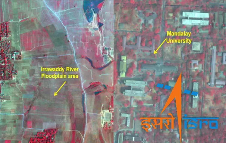
The Indian Space Research Organization (ISRO) captured the destruction using its Earth Imaging Satellite, Cartosat-3. The satellite, which is 500 kilometers high above the Earth's surface, took high-resolution pictures of Myanmar pre- and post-disaster.
Major Areas Affected
- Collapse of a bridge: A key bridge spanning across the Irrawaddy River was badly damaged.
- Destruction of the University: ISRO images verified the destruction of Mandalay University.
- Widespread Destruction: The images illustrate the widespread structural damage in the affected areas.
The satellite imagery offers essential information for relief and recovery work and enables the authorities to gauge the entire extent of the damage.
Tags Cloud


